 vesseltracker.com
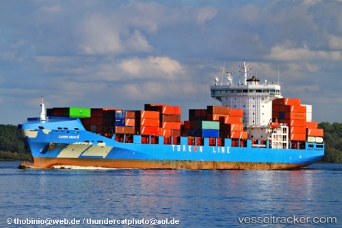
Vessel '271049029' IMO: 9365831, MMSI: 271049029
Live AIS position:
UTC. Near Evyap Port /Kocaeli),
updated 2024-10-06 11:53:18 UTC.
Find the position of the vessel '271049029' on the map. The latter are known coordinates and path.
marine traffic ship tracker show on live map
The current position of vessel '271049029' is 40.76951 lat / 29.69814 lng. Updated: 2024-10-06 11:53:18 UTCDetails:
Last coordinates of the vessel:
2024-10-06 11:53:18 UTC, 40.76951, 29.69814, course: 46, speed: 0